 Source: National Archives at College Park, Record Group 371, Series "Budget, Planning, and Operations Files of the Defense Communications System" (Entry 3), Box 14, Folder "IV, D, 1 User Svc. & Networks"
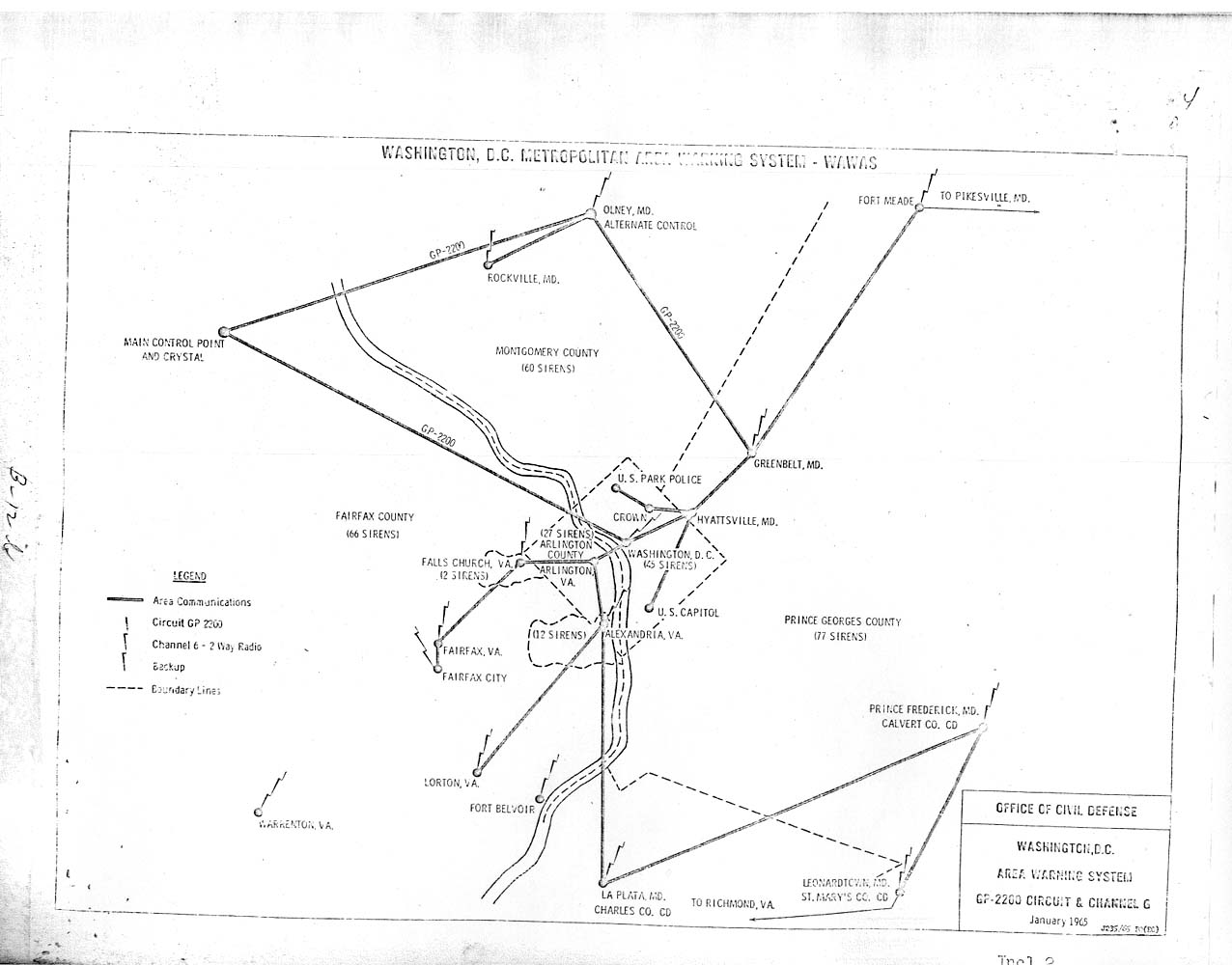
This map is from page B-12b of the Army Dedicated Network Study, conducted in 1965-1966 by the Defense Communications Agency (predecessor to the Defense Information Systems Agency).
The Main Control Point and CRYSTAL (a Presidential Emergency Facility) were at Mount Weather.